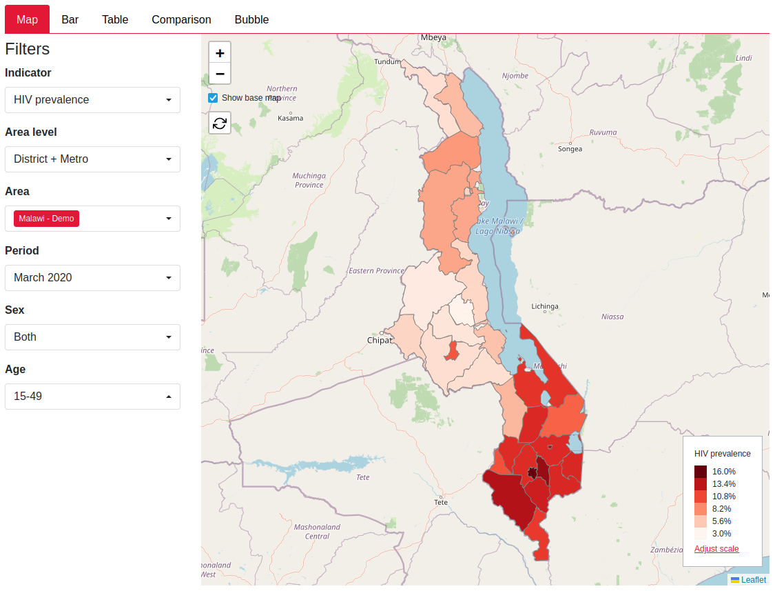
The input and output choropleth plots will now show a base map behind the country plots. You will be able to see more context for your country including water bodies.

You can click the button “Show base map” to toggle the map background on or off.
The input and output choropleth plots will now show a base map behind the country plots. You will be able to see more context for your country including water bodies.

You can click the button “Show base map” to toggle the map background on or off.